
Lad Hows
Height 1398 feet/426metres
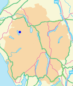
Grid Reference NY 172 193
Area
Birkett - North Western Fells, Grasmoor Group - Top No. 420
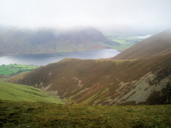
Lad Hows from Whiteless Edge.
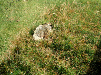
Lad Hows' small summit marker.
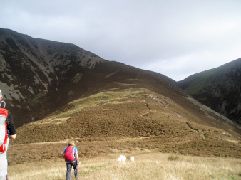
Looking up Lad Hows' ridge.
Cinderdale car park - Lad Hows (126) - Grasmoor (127) - Crag Hill (128) - Eel Crag (129) - Crag Hill - Wandope (130) - Thirdgill Head Man (131) - Whiteless Pike (132) - Rannerdale Knotts (133) - Cinderdale car park
All pictures copyright © Peak Walker 2021
©Crown copyright. All rights reserved. Licence number 100045184.